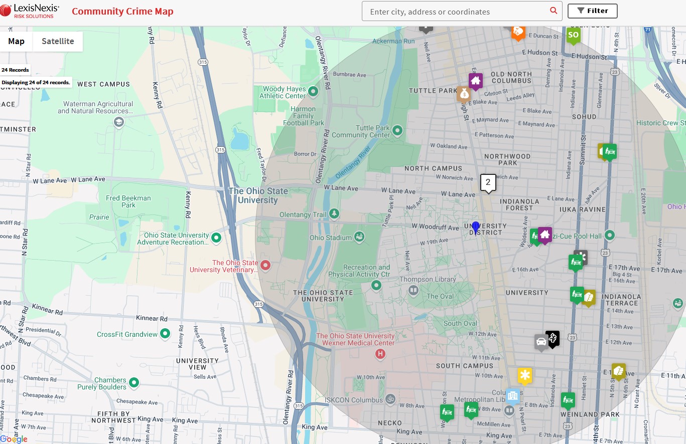
The Community Crime Map is once again active as the spring semester begins at Ohio State. The map, which consists of statistics from the Columbus Division of Police (CPD), was offline during the fall due to a ransomware attack on the City of Columbus and its data.
Now restored, the third-party Lexis Nexis service pulls data from the CPD crime log and populates a map showing off-campus crime reports. Ohio State preprogrammed the map to a one-mile radius to include the crime reports from the most recent 7-day period. The default crime categories are predetermined by Lexis Nexis and serve as another tool for Buckeyes to stay informed about crime and crime trends. Additional features available include the ability to:
- Turn on additional crime categories
- Access months or years of data
- See heat maps and trends including time of day
- Sign up for crime alerts (daily, weekly or monthly)
- Enter your own, personal home address to set up tailored alerts
The Community Crime Map shows crimes occurring off-campus and outside The Ohio State University Police Division (OSUPD) jurisdiction, while on-campus crimes can continue to be accessed via the OSUPD daily crime log.
When crimes occur on, or directly impact campus, Ohio State’s Department of Public Safety uses a variety of methods to communicate — watch to learn more. These methods include, but are not limited to, the Buckeye Alert System and Public Safety Notices and are supported by the Department of Public Safety website, social media, traditional media and other communication channels.
